Getting Around Riverside CA: A Buyer's Transit and Commuter Guide for 2026
Relocating to the Inland Empire requires a solid understanding of the local transportation network. Figuring out the logistics of getting around Riverside CA is a primary concern for anyone evaluating homes in the area. The city serves as a major geographic crossroads, linking the desert communities to the coastal employment hubs.
Real estate decisions here are heavily influenced by proximity to freeway on-ramps and regional transit centers. Buyers who map out their daily travel patterns before choosing a neighborhood consistently find better long-term satisfaction with their home purchase. Understanding the current infrastructure helps you balance housing costs against daily travel times.
Highway Access and Driving in Riverside
The vast majority of residents rely on personal vehicles to navigate the broader Southern California region. Riverside occupies a central position within the Inland Empire, making it a natural hub for regional highway traffic. The local road network is built around moving high volumes of passenger vehicles across long distances.
Living closer to major interchanges carries a distinct premium, as shaving just ten minutes off a daily drive adds up quickly over a year. While the city has made strides in alternative transportation, mastering the freeway system remains essential for most working professionals. Buyers should prioritize neighborhoods that align with their specific directional travel needs to ensure a manageable routine.
Navigating Major Routes: SR-91, I-215, and SR-60
Three primary state and interstate highways form the backbone of the local commute. State Route 91 is the critical, heavily traveled corridor connecting Riverside directly to Orange County employment centers. Interstate 215 handles the bulk of the north-south traffic, running straight through the Inland Empire and linking neighboring communities.
State Route 60 serves as the primary artery for residents driving westward into Los Angeles. Each of these routes experiences distinct traffic patterns based on the time of day and the direction of travel. Understanding which highway serves your destination is the first step in narrowing down your property search.
Peak-Hour Commutes to Los Angeles and Orange County
Realistic expectations are crucial when planning a daily drive to major coastal employment centers. Peak-hour commutes to Los Angeles or Orange County typically range from one to two and a half hours, depending entirely on your exact departure time. Leaving before dawn is a common strategy for residents looking to minimize their exposure to gridlock.
Utilizing Fastrak toll lanes and carpool lanes can significantly reduce these typical commute durations. Investing in a transponder is highly recommended for anyone traveling the SR-91 corridor regularly. Buyers must weigh the lower housing costs of the Inland Empire against the reality of these extended daily travel times.
Public Transportation Infrastructure
Regional transit authorities have spent recent years expanding options to help alleviate highway congestion. Public transit is becoming a more viable alternative for both daily commuting and running local errands. These systems offer a practical way to bypass the heaviest traffic zones during peak hours.
Access to reliable public transportation adds measurable value to nearby residential properties. Buyers who want to reduce their reliance on a personal vehicle should focus their search near established transit hubs. Having a backup commuting method provides excellent peace of mind, even if you plan to drive most days.
Riverside Transit Agency (RTA) Bus Routes
The local bus network covers the city limits and extends into neighboring communities like Corona. RTA provides essential connectivity between major retail centers, residential zones, and large institutions. The routes are particularly useful for reaching the University of California, Riverside without dealing with campus parking constraints.
The agency also integrates GoMicro, an on-demand microtransit service that functions similarly to ridesharing. This program allows residents to request localized pickups and drop-offs within designated zones. It bridges the gap between traditional bus stops and final destinations in suburban neighborhoods.
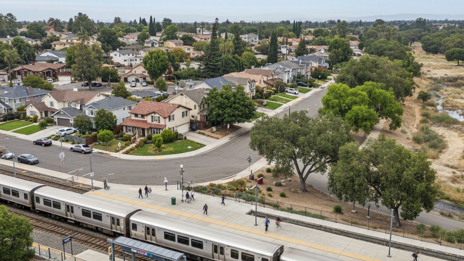
Regional Commuting via Metrolink Stations
Passenger rail offers the most efficient way to travel long distances without sitting behind the wheel. The city is served by three distinct Metrolink stations: Riverside-Downtown, Riverside-La Sierra, and Riverside-Hunter Park. These hubs connect residents to the Inland Empire-Orange County Line and the 91/Perris Valley Line.
The train ride to Downtown Los Angeles averages about 90 minutes, providing a predictable alternative to unpredictable freeway traffic. Ample parking is available at these stations, making it easy to drive in from surrounding neighborhoods. Many commuters find the ability to work or relax on the train easily justifies the ticket cost.
Non-Motorized Transportation: Walking and Biking
Active transportation infrastructure has seen significant investment to support cyclists and pedestrians. The city recognizes the need for dedicated pathways that separate non-motorized traffic from busy arterial roads. These improvements make it easier to incorporate physical activity into daily routines.
Proximity to trails and protected lanes is a major selling point for buyers focused on outdoor recreation. Neighborhoods with cohesive sidewalk networks consistently attract higher buyer interest. If you prefer to leave the car at home on weekends, locating near these active corridors is a smart real estate move.
Bicycle Infrastructure and the Santa Ana River Trail
The local bicycle lane network features marked routes that connect various residential districts to commercial centers. The crown jewel of this system is the Santa Ana River Trail, a premier corridor for both recreation and bicycle commuting. This extensive paved path allows cyclists to travel miles without interacting with vehicle traffic.
Parks and natural areas like Mount Rubidoux also offer excellent accessibility for active transportation. The paved loops around these landmarks are highly utilized by cyclists and runners throughout the year. Having these amenities within riding distance greatly enhances the daily lifestyle of nearby residents.
Walkability Metrics in Downtown Riverside
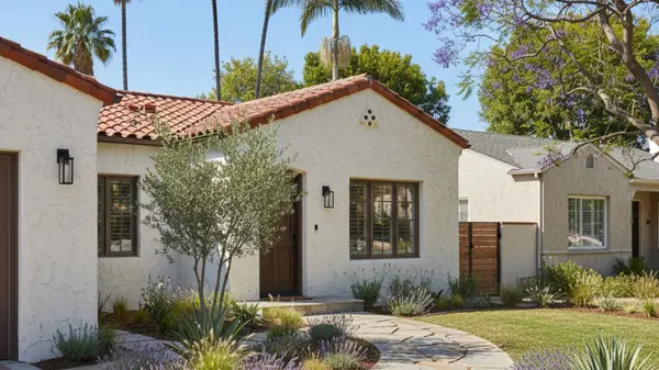
Pedestrian access varies dramatically depending on which part of the city you choose to call home. The grid layout of Downtown Riverside facilitates excellent pedestrian travel between historic districts and commercial zones. Residents here can easily walk to key amenities, restaurants, and cultural sites like the Riverside Art Museum.
Objective walkability scores in the city center are significantly higher than those found in the surrounding suburban developments. The Mission Inn Hotel & Spa area serves as a highly walkable hub with wide sidewalks and shaded pathways. Buyers prioritizing a walkable lifestyle will find the highest concentration of suitable properties in the immediate downtown footprint.
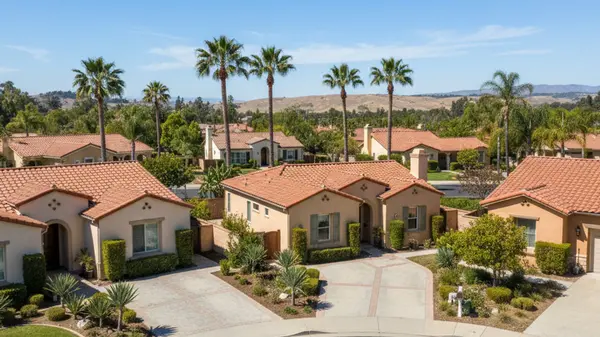
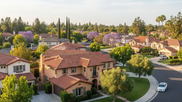
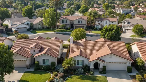
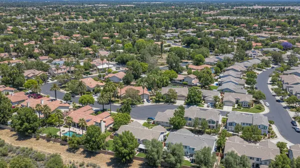
Real Estate Near Transit Corridors
Housing options vary widely based on their proximity to major highways and rail stations. There is a well-documented real estate premium associated with properties located near transit access points. Buyers are willing to pay more upfront to secure a shorter, more predictable daily commute.
Neighborhood location dictates not just your property style, but your daily lifestyle and transportation choices. Expanding public transit hubs continue to drive local property values upward. Purchasing a home near a Metrolink station or major highway interchange is one of the strongest long-term investments you can make in this market.
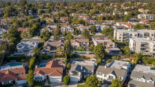
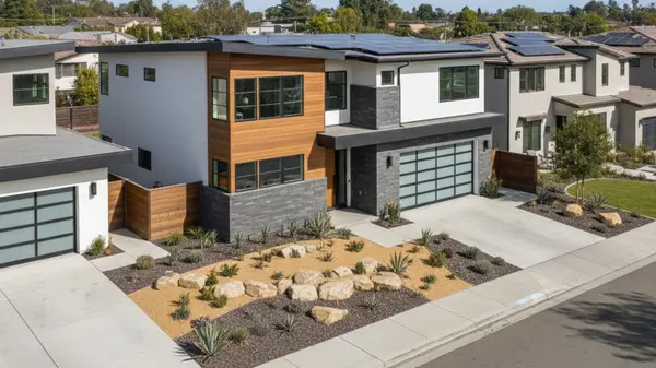
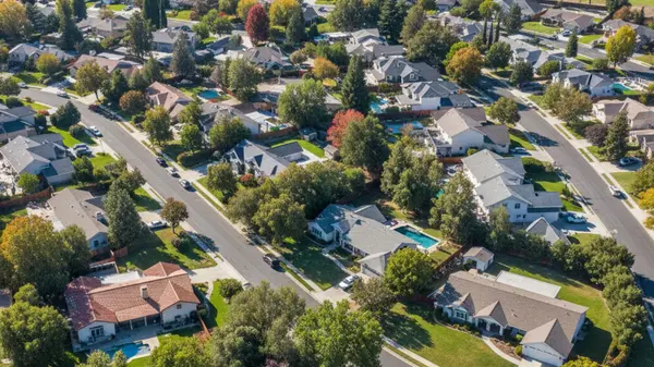
Typical Property Types and Median Price Ranges
The local housing inventory includes everything from walkable downtown condos to spacious single-family homes near the La Sierra station. Current 2026 median home prices in the area range from approximately $640,000 to $685,000. These figures reflect the strong sustained demand for properties offering straightforward regional access.
Buyers looking for lower-maintenance living will find that condominiums currently average around $412,500. Purchasing real estate near expanding public transit hubs provides excellent potential for future equity growth. The convenience of nearby transportation infrastructure continues to be a primary driver of home valuations.
Frequently Asked Questions
Is Riverside, CA a walkable city?
The downtown core is highly walkable, featuring a grid layout that easily connects residents to restaurants and museums. However, the majority of the suburban neighborhoods require a personal vehicle for daily errands. Walkability scores drop significantly once you move away from the historic city center.
Is the train ride a reasonable way to commute into Los Angeles daily?
Yes, utilizing the Metrolink is a highly practical alternative to driving the crowded SR-60 freeway. The train ride to Downtown Los Angeles takes approximately 90 minutes from the local stations. Many professionals prefer this predictable rail schedule over navigating volatile morning highway traffic.
Can I get around Riverside without a car?
It is possible to navigate the area without a car by combining the RTA bus network with local microtransit options. Services like GoMicro and traditional ridesharing fill the gaps between major transit stops and residential neighborhoods. Living close to the downtown transit centers makes a car-free lifestyle much more manageable.
Categories
Recent Posts