Getting Around Los Angeles CA: A Buyer's Transit and Commuting Guide for 2026
Relocating to Southern California requires a solid understanding of getting around Los Angeles CA. The way you commute dictates your daily routine, influences your property search, and impacts your long-term real estate investment.
Buyers often assume the city is entirely car-dependent, but the local transit landscape has evolved significantly. With major expansions to the public transit network and a growing emphasis on walkable neighborhoods, residents now have more commuting options than ever before.
Evaluating transit access alongside property values is a crucial step in the home buying process. Understanding the balance between freeway proximity and light rail access will help you choose a location that aligns with your lifestyle.
Navigating the Los Angeles Freeway System and Traffic Patterns
The backbone of regional travel relies heavily on a complex network of controlled-access highways. Major arteries like the I-405, US-101, I-10, and I-110 facilitate movement across vast stretches of Los Angeles County.
While the average Los Angeles commute time sits at approximately 30 minutes one-way, regional trips can easily double during peak hours. Rush hour windows typically stretch from 6:00 AM to 10:00 AM and again from 3:00 PM to 7:00 PM.
Navigating specific bottlenecks requires strategic route planning and reliance on real-time traffic applications. The Sepulveda Pass on the I-405 is notorious for heavy congestion, prompting many drivers to seek surface-street alternatives through the canyons.
Securing a property near your primary workplace remains the most effective strategy for mitigating traffic fatigue. Buyers who prioritize a short drive often find that paying a premium for geographical proximity is a worthwhile investment.
Exploring the Los Angeles Metro Rail and Bus Systems
Public transportation throughout the region has seen massive infrastructure improvements in recent years. The Los Angeles Metro operates an extensive network of rail lines and bus routes that connect Downtown Los Angeles to outlying communities.
The E Line is a highly utilized route that seamlessly connects Downtown LA to the Santa Monica Pier. Expansion continues to reshape the map, with the highly anticipated D Line Subway Extension Section 1 officially opening next week on May 8, 2026.
This new segment links Koreatown directly to the Wilshire/La Cienega station, creating a vital east-west transit corridor. These ongoing rail expansions are actively shifting buyer interest toward neighborhoods with immediate subway access.
Paying for mass transit is streamlined through the regional TAP card system. The current fare structure is designed to keep commuting costs predictable for regular riders:
-
Base fares currently cost $1.75 per boarding across the Metro system.
-
Automated fare capping limits daily transit expenses to a maximum of $5.
-
Weekly fare capping ensures regular commuters never pay more than $18.
This capped fare model makes the Metro system an incredibly cost-effective alternative to daily driving and paid parking. Commuters who utilize these transit options can significantly reduce their monthly transportation budgets.
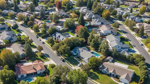
Average Commute Times from Key Residential Neighborhoods
Evaluating commute thresholds is an essential part of selecting the right neighborhood. Travel times vary wildly depending on whether you are driving, taking the train, or utilizing a rideshare service like Uber or Lyft.
Commuters traveling from the San Fernando Valley to employment hubs in Century City should expect an approximate 45 to 60-minute drive during peak rush hours. Conversely, residents working in Silicon Beach often look for homes in nearby Westside neighborhoods to keep their drive under 20 minutes.
Rail transit offers a much more predictable timeline for daily travel across the city. Commuting from Los Angeles Union Station to the new Wilshire/La Cienega station takes approximately 21 minutes on the subway.
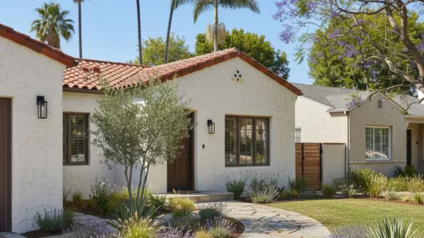
Buyers must weigh the financial savings of living further out against the daily time cost of a longer commute. Properties located within walking distance of major employment centers carry higher price tags but offer substantial lifestyle benefits.
Walkability, Cycling Infrastructure, and Micromobility
Many buyers actively seek out neighborhoods that support a car-light or completely car-free lifestyle. Areas with high walkability indices feature concentrated commercial districts where grocery stores, restaurants, and transit stops are easily accessible on foot.
Santa Monica and Culver City stand out as prime examples of highly walkable and bikeable communities. Both cities have invested heavily in pedestrian-friendly streetscapes and dedicated cycling infrastructure.
The Expo Line bike path provides a protected, paved route for cyclists commuting across the Westside. This path runs parallel to the light rail, offering a dedicated alternative to navigating high-traffic boulevards.
For first-mile and last-mile commuting, residents frequently utilize the Metro Bike Share program and various electric scooters. These micromobility options bridge the gap between transit stations and final destinations without the need for a personal vehicle.
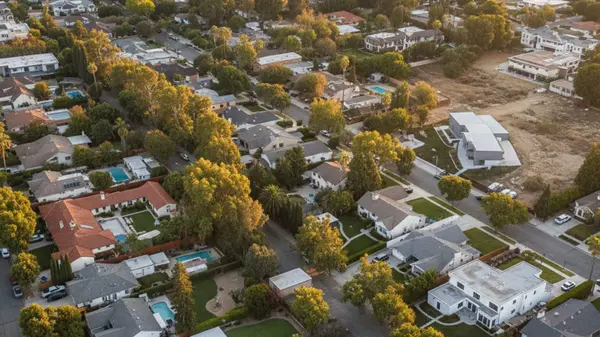
Real Estate Value and Transit-Oriented Developments
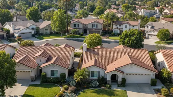
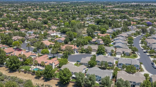
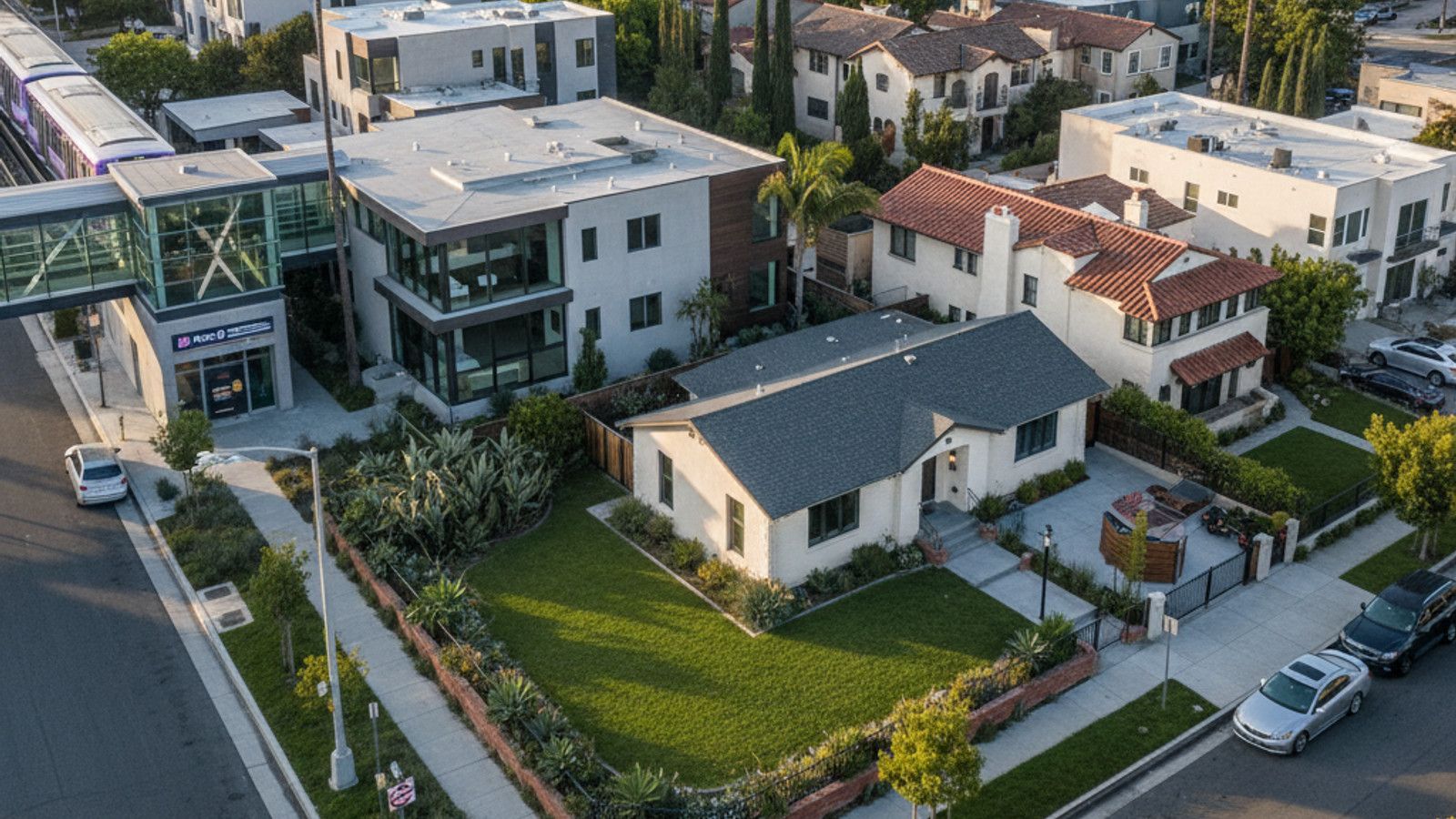
Proximity to transit hubs is a major driver of property demand and overall real estate value. Homes situated within a half-mile of a Metro station consistently command a premium in the current market.
The city is actively encouraging higher density near rail lines through Transit-Oriented Communities incentives. This ongoing development push aims to construct approximately 10,000 new residential units near transit stations by 2031.
These zoning incentives are fundamentally changing the housing inventory in Central LA and West Hollywood. Buyers looking at these areas will find an increasing number of modern condominiums and mixed-use developments.
Purchasing property near mass transit protects your investment against future traffic congestion. Reducing car dependence also lowers your overall cost of living, offsetting the higher purchase price of transit-adjacent real estate.
Frequently Asked Questions
Can I get around Los Angeles without a car?
Yes, living without a car is entirely possible in specific neighborhoods with strong transit infrastructure. Utilizing the Metro system, rideshare services, and micromobility options provides comprehensive coverage across the city. Focusing your home search in highly walkable areas like Downtown LA or Santa Monica makes a car-free lifestyle highly practical.
How much does a Metro day pass cost in Los Angeles?
The Metro no longer sells traditional day passes, utilizing an automated fare capping system instead. Once you spend $5 in a single day using your TAP card, all subsequent rides that day are completely free. This 2026 fare structure ensures riders never overpay for daily transit use.
Are there cheaper alternatives to Uber and Lyft in LA?
Taking the Metro Bus or Metro Rail is significantly more cost-effective than relying on daily rideshare services. A standard transit fare is just $1.75, whereas a single Uber trip across town can easily exceed $30. For shorter distances, renting an electric scooter or using the Metro Bike Share program provides an affordable and efficient alternative.
Categories
Recent Posts